[Part 3] How to adapt to climate change?

Is climate change triggering smaller yields for farmers?
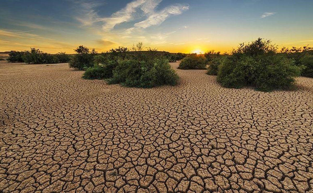
The risk of smaller yields is higher for farmers in a context of climate change. However, the overall problem is a decrease of resilience of the farming systems. Climate change triggers higher risks of smaller harvests, but an aggravating factor is that farmers are vulnerable to these consequences.
How can farmers be more resilient?
Geodata has big potential including numerous applications in the field of agriculture. Farmers can greatly benefit from geodata. Not only directly, such as by being better able to predict the start of the rain season, but also by gaining access to additional resources. For example, most remote farmers in East Africa do not have access to loans to buy fertilizers or crop insurance. Why not? Simply because until now it is hard for banks or insurance companies to predict the performance of a crop in a remote area, and therefore assess the risk to lend money or insure a crop. However, the use of geodata can solve this problem.
Predicting the performance of a crop with geodata
From a satellite, it is possible to collect enough information to estimate the biomass at the surface of the Earth. Here is an easy way to understand how: if you take a picture of a forest from the sky, the greener the picture is the more trees there are. Of course, you need to consider the type of trees, the season, and many other reference parameters if you want a relevant value. For a crop, it is the same idea. Once you register the field’s geometry, you can compare the geodata of the present year to the data of the past years in the same field and conclude if a crop is performing well relatively to previous years. In the same way you can establish a crop specific reference for the achievable yield when soil, weather and farm management conditions are optimal and compare this to the actual geodata of a field to determine the so-called ‘yield gap’.
Why do crops perform better or worse than previous years?
Using satellite data, we can identify two main factors to explain crop underperformance. Chlorophyll is responsible for the green color of the plant. If a crop suffers from a lack of nitrogen, it triggers a low content of chlorophyll which result of an overall change of color of the plant. This change is something we can detect thanks to geodata. Another factor is water. Just like for a lack of nitrogen, the effect of drought on a crop can be detected with geodata, especially if georeferenced weather data is available. I explained in the previous blog that AgroCares in cooperation with Weather Impact developed a system that produces weather forecasts in Kenya. Within the same CROPMON project and working together with NEO, we created a crop performance monitoring system for Kenyan farmers based on remote sensing.
Providing farmers with a performance report of their crops
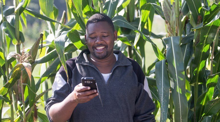
Farmers subscribed to the CROPMON service currently receive two SMS messages per week. The first SMS is a weather forecast for the next 7 days that contains predictions and likelihoods for rainfall and temperatures. In the second SMS the farmer gets a crop specific performance report of his field with the explaining factors of the performance when available. For AgroCares, it is a first step towards an inclusive crop monitoring system. The mid-term idea is to combine remotely sensed data and farm management data with soil data collected directly in the field with a Scanner or a Lab-In-The-Box and make it possible to know in real time what is limiting the performance of a crop. AgroCares’ ultimate goal for the CROPMON project is to increase agricultural yields with quicker, on the spot and real-time advice. This is even more crucial in the context of climate change.
Outlook for the future
In the future the impacts of climate change will be growing, but so will the opportunities for agriculture to be more resilient and for farmers to be less vulnerable to the changing climate. There is a lot of potential for yield increase in Africa and remote sensing and geodata will play a big role in the development of a new way of farming.

